Who gave Lake Titisee its name? One of the legends (maybe its even true) say the Roman general Titus, who camped here with his troops, gave it his name, because he was so impressed by the beauty of the lake. The first authenticated reference to it, however, dates back to the year 1111 in documents belonging to the neighbouring village Saig, in which the names 'Dettesee' and 'Titinsee' are found; the today's name Titisee came into use about 1750.
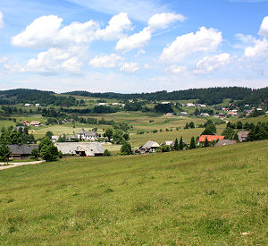
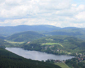 Sure is: the Titisee is one of the most popular places for tourists in the Black Forest, Germany. Every year thousands of people enjoy the great landscape, the possibilities for water sports like swimming, wind-surfing, sailing or a pedalo ride. A very nice option for enjoying the Lake Titisee and the surrounding Black Forest landscape is a sightseeing tours by one of the pleasure boats. Since the waterfront promenade in Titisee-village was converted to a pedestrian zone, the 'Seestrasse' is considered the loveliest street for strolling and shopping in the Southern Black Forest.
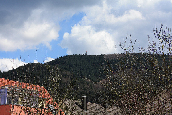
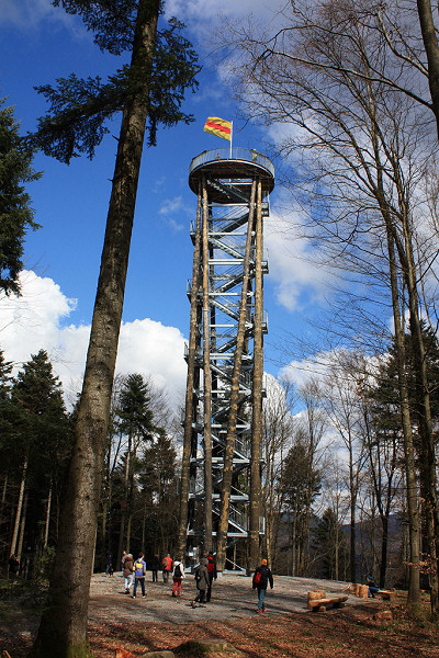
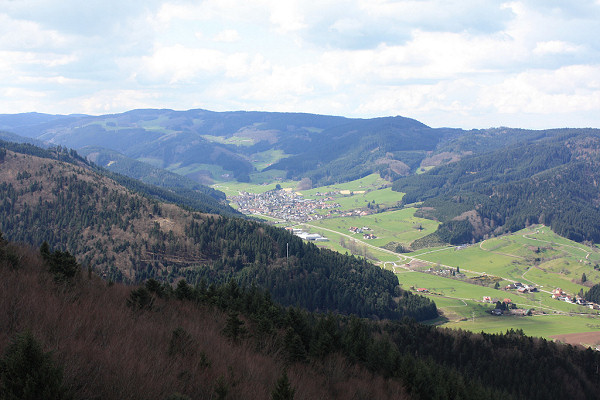
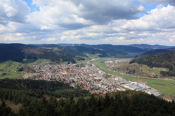
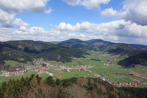
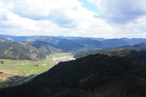
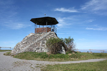
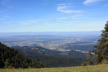
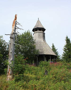
The nicest view on Lake Titisee is without any doubt from the lookout tower on Hochfirst mountain (see photo).
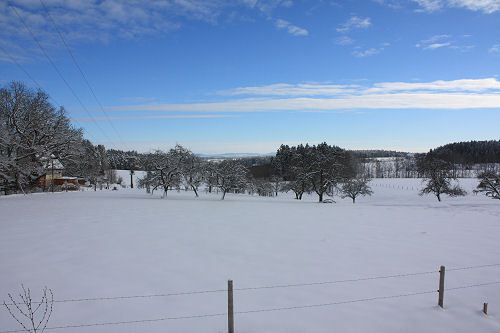
Lake Titisee is located in the Southern Black Forest, 30km east of Freiburg in the south-west of Germany. The approach by car is possible from the autobahn A5, exit Freiburg-Mitte, from there the B31 direction Donaueschingen. Or from the autobahn A81, triangle Bad Dürrheim on the B31 direction Freiburg. The basin for lake was formed during the last ice age, just 10,000 years ago. A glacier extended from the Feldberg to the present-day lake. The basins gouged out by the glacier and the terminal moraine now form the basin of Lake Titisee. The lake is 850 m above sea level, 2 km long, just under 1 km wide and approx. 40 m deep.
Titisee village is also a climatic therapy resort and worth a visit all year round. Vacationing guests will find a selection of accommodation ranging from rustic, well-equipped inns to comfortable apartments and luxurious first-class hotels.

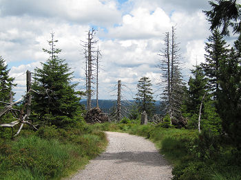 The national park in the Black Forest was founded in January 2014, and is the first national park in Baden-Wuerttemberg in southwest Germany. This area lies in the northern part of the
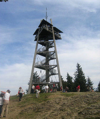
 On www.black-forest-travel.com, in the section "
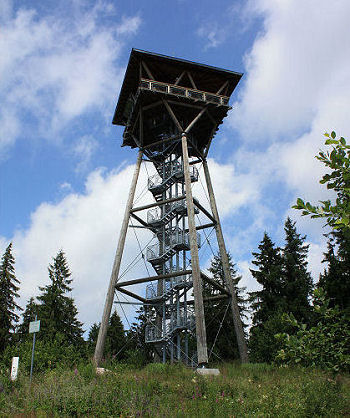 A new photo gallery "
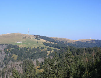
 The Hochkopf is a mountain on 1267 m above sea level, located between
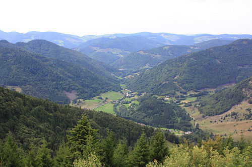
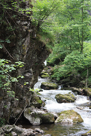
 Waterfalls, a narrow canyon, adventurous paths, nature conservation area, a via ferrata and great views can be seen in this hike of about 4-5 hours.
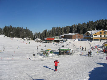
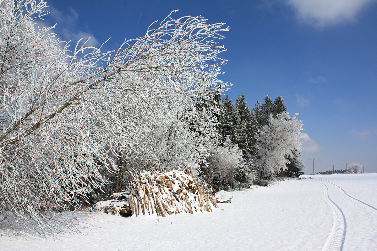
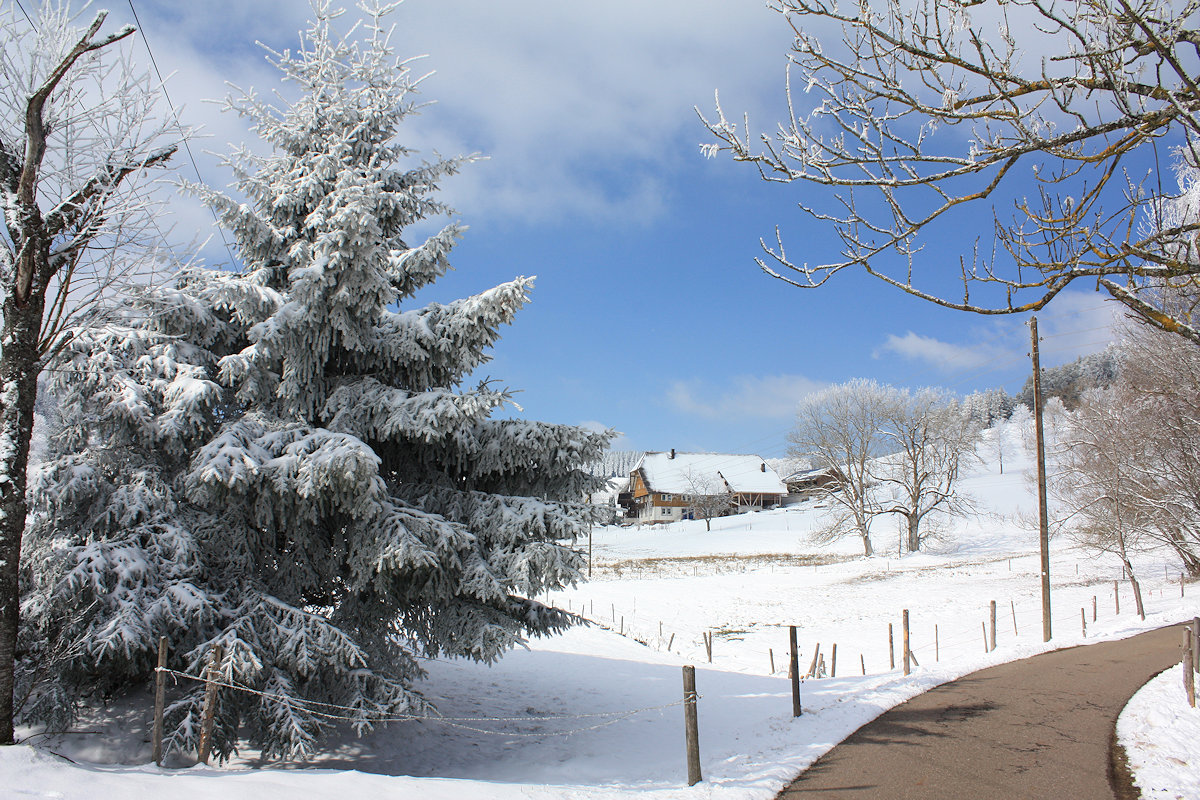
 The Feldberg (1493m above sea level) is the highest mountain in the Black Forest, Germany. The Felderg Mountain is located in the south-west of Germany, about 25 km south-east of the city of Freiburg.
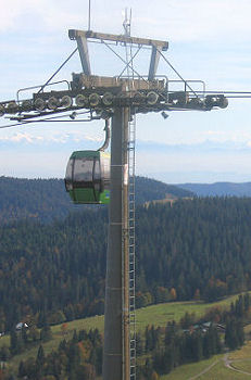 Places nearby