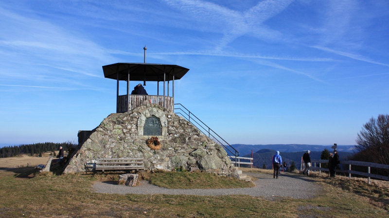
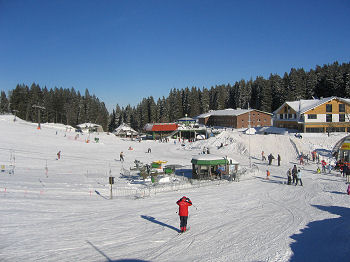
Still waiting for the snow in the Black Forest, as seen here on the summit of Kandel Mountain near St. Peter on 1241 meters above sea level on 29 December 2015.
But certainly the snow is yet to come, for the winter has only just begun.
www.black-forest-travel.com wishes a happy new year 2016 !
 A new photo gallery "viewpoints and look-outs" has been created on our german website www.schwarzwald.com.
The comments are in german, but the main focus is on the fotos, so you sure will enjoy it.
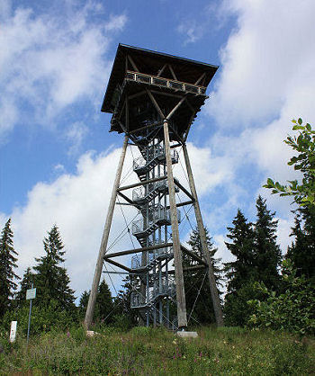
Photo right hand: The Riesenbühlturm near Lake Schluchsee
The Kandel Mountain is one of the most eye-catching mountains in the Central Black Forest. It ist located about 25km north-east of Freiburg and can be reached by road from Waldkirch or from St. Peter or Glottertal from the south. There is a large car park at the highest point of the road, and a 400m footpath leads to the summit from there.
The large Kandelfelsen rock just below is a popular area for climbers. The paraglider launch site is directly by the car park. For winter sports enthusiasts, there are three ski lifts and pistes of various levels of difficulty, the popular boarder park and cross-country skiing courses.
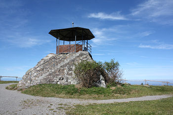
Photo: The summit pyramid on Kandel Mountain
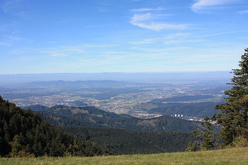
Photo: View from Kandel Mountain over the Elz Valley, Waldkirch can be seen on the right. The Voges Mountains rise up from the mist in the background.
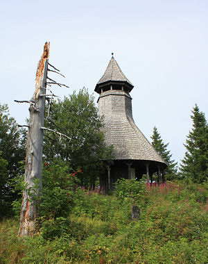 The Hochkopf is a mountain on 1267 m above sea level, located between Todtmoos and Todtnau in the southern Black Forest.
A detour to the Hochkopf with its viewing tower is well worthwhile if you are hiking around Todtmoos and Todtnau. The easiest way to reach it is from the Weißenbachsattel parking area for hikers between Todtnau-Präg, Herrenschwand and Todtmoos-Weg. From there it is 1.8 km to the summit with a height difference of just under 200 metres.
The Hochkopf Tower with its distinctive form offers a magnificent view over the surrounding valleys and mountains, including the Feldberg, Herzogenhorn, Schauinsland and Belchen. In addition, a glorious Alpine panorama unfolds in fine weather.
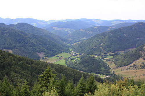
Photos: Hochkopf look-out tower and a nice view on Präg near Todtnau
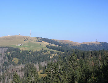 The Feldberg (1493m above sea level) is the highest mountain in the Black Forest, Germany. The Felderg Mountain is located in the south-west of Germany, about 25 km south-east of the city of Freiburg.
Photo on the right: The Feldberg summit on the left side, on the right side the Seebuck foothill with the lookout tower.
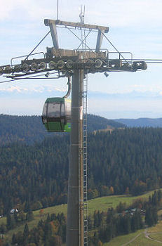
A cableway runs from the car park at the Haus der Natur (House of Nature) to the Seebuck foothill. Incidentally, the cableway is operated as a 6-seater chair lift in winter. The actual summit of the Feldberg is reached from the upper terminus via a 2km footpath. There are several sign-posted hiking trails leading round the summit area with a walking time of between 30 minutes and 3 hours, from which you can enjoy the beauty of the landscape in its entirety and the magnificent views in every imaginable direction.
Ascend the Feldberg Tower and you can let your eyes wander even further into the countryside. However, you have a lovely uninterrupted view even without ascending the tower because there are no trees in the summit area.
The Feldberg is centre of the biggest skiing area in the Black Forest. Usually from November to April thousands of skiers use the 14 ski-lifts and downhills of all categories.
 Places nearby

 A new photo gallery "

 The Hochkopf is a mountain on 1267 m above sea level, located between
 The Feldberg (1493m above sea level) is the highest mountain in the Black Forest, Germany. The Felderg Mountain is located in the south-west of Germany, about 25 km south-east of the city of Freiburg.
 Places nearby